vessel 'NEW DAERYUK' IMO: 9557214, vesseltracker.com
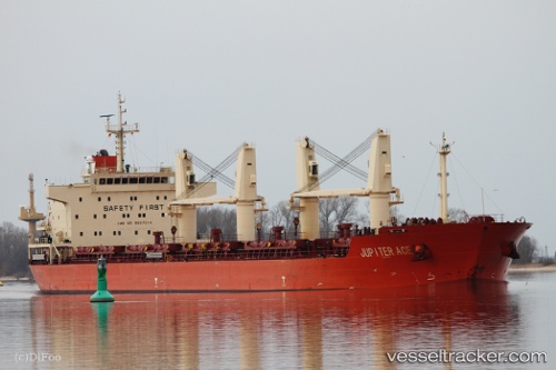
Vessel 'NEW DAERYUK' IMO: 9557214,
MMSI: 440019000 callsign: size: x

Find the position of the vessel 'NEW DAERYUK' on the map. The latter are known coordinates and path.

marine traffic ship tracker show on live map

The current position of vessel 'NEW DAERYUK' is 37.4204 lat / 122.636 lng. Updated: 2024-05-21 04:25:59 UTC
Payload_mass:
32527 tonne
Gross tonnage:
20138
Service entry:
2009-01-01T00:00:00Z
Details:


Last coordinates of the vessel:
UTC, 37.4203, 122.636, course: -1, speed: 0
UTC, 37.4202, 122.636, course: -1, speed: 0
UTC, 37.4204, 122.636, course: 238, speed: 0
2024-05-21 04:25:59 UTC, 37.4204, 122.636, course: 267, speed: 0

Track of the vessel in the last 14 days


Most frequent ports a vessels calls at 'NEW DAERYUK' (440019000):

New Mangalore, traffic: 2
Vladivostok, traffic: 2
Yeosu, traffic: 2
Yosu, traffic: 2
Al Jubayl, traffic: 2
Cochin, traffic: 2
Jubail, traffic: 2
Tanjung Perak, traffic: 1
Tanjong Perak, traffic: 1
Cebu, traffic: 1

Link to the map:


Find another ship

'NEW_DAERYUK' (440019000) last ports (portcalls and passsages)

Tanjong Perak | 2022-04-12 03:44:19
Vladivostok | 2022-03-26 12:15:57
Yeosu | 2022-02-06 00:00:03
Al Jubayl | 2021-12-22 22:57:51
New Mangalore | 2021-12-12 04:30:28
Cochin | 2021-12-05 10:15:09
Cebu | 2021-09-30 16:05:00